Remote sensing data and applications
|
Instructors:
Dr. Nicholas Coops (UBC Forestry) Dr. Trevor Jones (UBC Forestry) Dates & Location: ---------- 1 workshop day ---------- 10am - 5pm, Tuesday October 18, 2016 Location: Liu Institute for Global Issues, Multipurpose Room Description: Lecture (10am - 12pm): The lecture, led by Dr. Nicholas Coops, will cover remote sensing basics including theory of electromagnetic radiation, the four resolutions typically considered in remote sensing, vegetation interactions, review of new and operational remote sensing systems and summary of the use of remote sensing for a range of remote sensing applications. |
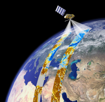
Image obtained from http://isp.uv.es/remote.html
|
Lab Part I (1pm - 2:45pm): Land-cover classification. Both lab components will be led by Dr. Trevor Jones. A typical land-cover classification results from grouping pixels in a remotely sensed image based on shared spectral properties. The resulting groups represent different land-cover categories defined either through clustering (i.e., unsupervised) or in advance (i.e., supervised classification). Through Part I of this lab, participants will undertake both unsupervised and supervised classification of a Landsat image within the R environment. Following classification, accuracy assessment and classification uncertainty will be addressed.
Lab Part II (3:15pm - 5pm): Continuous land-cover information: Part I of the lab dealt with categorical, discrete land-cover characterization. While useful for many applications (e.g., baseline for deforestation assessment), not all land-cover types are best represented with distinct boundaries. For heterogeneous landscapes, different land-cover types of interest are often contained within the same pixel (i.e., mixed pixels) and changes may be best represented as occurring over a continuous gradient. The methods employed to address these challenges are referred to as fractional cover, percentage cover or continuous fields, resulting in predictions of the fractional cover of each land-cover type/class of interest. Through Part II of this lab, participants will undertake fraction of vegetation cover mapping within the R environment. The classified Landsat image resulting from Part I will be used to calculate the percentage coverage for each land-cover class within a coarser spatial resolution MODIS image.
Lab Part II (3:15pm - 5pm): Continuous land-cover information: Part I of the lab dealt with categorical, discrete land-cover characterization. While useful for many applications (e.g., baseline for deforestation assessment), not all land-cover types are best represented with distinct boundaries. For heterogeneous landscapes, different land-cover types of interest are often contained within the same pixel (i.e., mixed pixels) and changes may be best represented as occurring over a continuous gradient. The methods employed to address these challenges are referred to as fractional cover, percentage cover or continuous fields, resulting in predictions of the fractional cover of each land-cover type/class of interest. Through Part II of this lab, participants will undertake fraction of vegetation cover mapping within the R environment. The classified Landsat image resulting from Part I will be used to calculate the percentage coverage for each land-cover class within a coarser spatial resolution MODIS image.